Forecast
Niamey
Local time--:--
Africa/NiameyWeather Forecast
Niamey, NigerOpen-Meteo forecast.
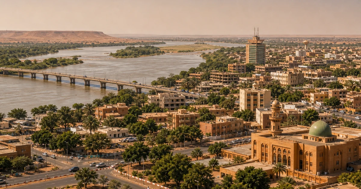
Niamey city overview
Niamey is Niger's capital on the banks of the Niger River, a low-rise Sahelian city known for its riverside sunsets and lively markets. First-time visitors should browse the stalls of the Grand Marche, learn regional history and crafts at the National Museum of Niger, and watch pirogues cross the river at dusk. Diori Hamani International Airport connects the city to the region; check current travel advisories closely before planning any visit.
Worth seeing
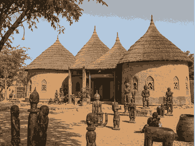
National Museum of Niger
National Museum of Niger is a key Niamey culture stop, useful for understanding local history, collections and rainy-day planning near the main sightseeing route.
View on map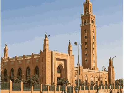
Grand Mosque of Niamey
Grand Mosque of Niamey anchors the historic and ceremonial side of Niamey, making it a practical stop for architecture, local memory and orientation.
View on map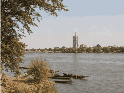
Niger River waterfront
Niger River waterfront adds outdoor time to a Niamey stay, with open space, views or waterfront breathing room between denser city sights.
View on map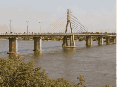
Kennedy Bridge
Kennedy Bridge is a clear heritage marker in Niamey, best used as a fixed point when grouping nearby streets, monuments and viewpoints.
View on map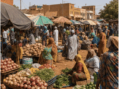
Niamey Grand Market
Niamey Grand Market gives Niamey a concrete street-life stop, with food, everyday shopping and local movement that helps visitors read the city.
View on map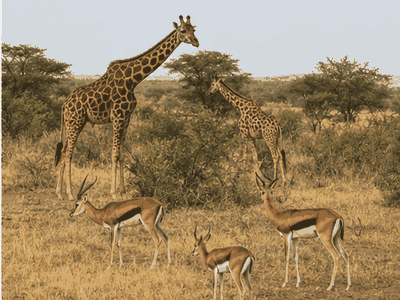
W National Park
W National Park adds outdoor time to a Niamey stay, with open space, views or waterfront breathing room between denser city sights.
View on mapStay overview
Plateau offers the easiest first stay, close to hotels, banks and government offices, while the riverside area is best for an evening meal with Niger River views. Yantala provides a quieter, embassy-district alternative. Confirm current safety guidance before booking any Niamey trip.
Hotels & areas
Plateau holds most of Niamey's established hotels within reach of the Grand Marche and National Museum, while Yantala suits diplomats and longer-stay visitors wanting a quieter residential setting.
Plateau
Plateau is Niamey's central administrative district, home to government buildings, banks and many of the city's hotels.
Best for: hotels, central accessSee hotel optionsGrand Marche area
The area around the Grand Marche is the city's commercial heart, packed with stalls, tailors and everyday shops.
Best for: markets, shoppingSee hotel optionsRiverside (Kalley)
The riverside district along the Niger River offers restaurants and views popular for an evening walk or meal.
Best for: dining, river viewsSee hotel optionsYantala
Yantala is a quieter residential district favoured by diplomats and longer-stay visitors, north of the centre.
Best for: embassies, quiet staysSee hotel optionsFlights & airports
Diori Hamani International Airport (NIM) arrival plan
- Diori Hamani International Airport (NIM)About 9 km from the centre
Compare airport access against hotel location, arrival time, rental car pickup, late flights and onward driving before choosing the first night base.
Rental cars
Niamey day-trip car use
Self-driving is not recommended given current security conditions; arrange a trusted local driver or pre-booked transfer instead.
Compare rental carsTravel tips
Check advisories first
Confirm current government travel advisories before booking any Niamey trip, since security conditions in Niger can change quickly.
Arrange transfers in advance
Keep the Niamey plan compact: group nearby sights together and leave enough time for transfers, meals and weather changes.
Visit the museum for context
Start at the National Museum of Niger for background on regional history and crafts before exploring the Grand Marche.
Watch the river at dusk
Head to the riverside in the late afternoon to see pirogues crossing the Niger River as the light softens.
Nearby ideas
River
Boubon
Boubon, a riverside village a short drive from Niamey, is known for its Sunday market and pottery.
View on mapUpcoming events
City history
The first European mentions of Niamey were by the 1897 mission of Émile Auguste Léon Hourst, then the 1899 Voulet–Chanoine Mission, which set fire to Niamey.
Niamey had about 1,800 inhabitants in 1904, when it became the capital of the Third Military Territory of Niger.
The capital moved back to Zinder in 1911, after violence in the eastern region had subsided and reorganisation had drawn Niamey further away from the center of the territory.
As capital, Niamey also became the center for the educated class of mostly Songhai and Zarma people, with the first regional school opening in 1930.
Most residents wished to stay on the river bank, but, after a 1935 fire destroyed many straw buildings, they were forcibly moved to mudbrick houses, resulting in multiethnic neighbourhoods.
Despite this, housing insecurity increased, and the informal settlement of Talladjé was created in 1966.
On 9 April 1999, Baré was ambushed, shot, and killed at Niamey's airport during a coup d'état.
In 2013, American and French military bases were established at adjacent parts of Diori Hamani International Airport.
Background and foundation The area of modern Niamey was of little importance before Niger's colonial era.
The villages of Goudel and Gamkalé were founded on the left bank (east side) of the Niger River in the sixteenth century.
Those who remained established informal settlements with mostly thatched mud buildings on the edge of the indigenous quarter.
Most of the urban plan was cancelled during the Second World War, when colonial officials left for the war and the administration prioritised commercial farming over infrastructure.
Niamey received the country's only asphalt highway, spanning a few kilometres between Diori Hamani International Airport and the Presidential Palace—the former governor's palace.
This plan redrew municipalities' boundaries based on pre-colonial settlements, with consulting from traditional chiefs.